
Project description
From July 2010 to June 2014 the chair for Discrete Optimization and Logistics developed an open source application which makes it possible to solve problems in the field of location planning by using a library of location algorithms (LoLA).
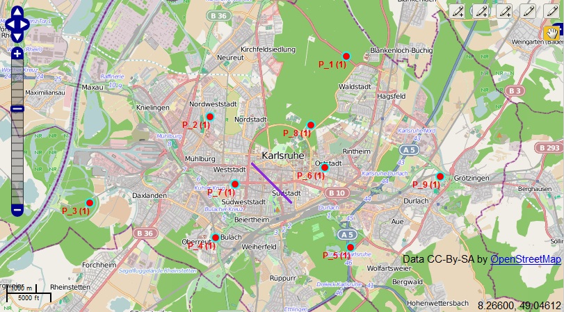
The main part of the project was a web geographic information system (GIS) which contains a user interface that is viewed in the browser. The web GIS was implemented using OpenLayers API and OpenStreetMap GIS. Without any installations or additional software, the user is able to solve location problems. The GIS simply reacts to user actions like moving the map or adding a data point to the map. Afterwards, the data is sent the server where LoLA solves the respective problem and returns the result.
Therefore, the integration of LoLA into a web GIS not only improves the availability, but also helps to make the handling user-friendly. Another advantage of the web GIS is the visualization of the results. After entering data, the calculated results are shown in the web browser as well.
An important field of application is teaching. The lecture "Facility Location and Strategic Supply Chain Management" theoretically discusses some of the algorithms used by LoLA. For the visualization and for a better understanding of the contents, examples can be calculated and analyzed with the web GIS.